
We started our learning with a diagnostic activity where the students were told a story about a friend of mine who is Florida. With the cold weather we are experiencing in Kitchener, I made sure to mention that my friend is wearing shorts and that he is participating in activities that we are not able to comfortably do here at the moment. After our story the students were provided with an opportunity to express what they think they know about Florida (prior knowledge) using a RAN chart.

The students really liked doing this activity and many of them provided some fun and interesting information about what they think they know about Florida. Also, the information they provided gave me insight into what they think they know about people’s way of life (e.g. shelter, climate, food, clothing, [animals, and interesting facts]) in Florida and what they are interested in learning about. With this information I now have a better idea of what the students think they know specifically and generally. For the most part their specific information seems to be accurate but their general knowledge is not accurate. I now have a better direction on what they need to learn in order to identify features of communities around the world and describe how people live and meet their needs.
[May 7 am]
[May 7 am]
To provide them with some foundational knowledge about the earth we talked about how it is made up of continents and countries. The students used an on-line interactive activity to help them with this content (ELO1300170 in the OERB).

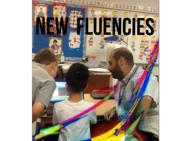
With new and fresh knowledge about the make up of the earth the next task involved "bringing them home" by having the use Google Maps to explore where we live and provide them with the opportunity to zoom in and out to gain a perspective of where we are relative to other communities around the globe. The students enjoyed this and were blown away by the magnitude of the earth and the ability to zoom in and out using the technology we have in the classroom.
The students were explicitly taught the cardinal directions and engaged in some fun activities that gave them opportunities to apply what they had learned. The liked using a compass and had some fun reading maps and creating some too.
We are now at the point where the students will gain a detailed understanding of four specific regions on the Earth (desert, rain forest, arctic, and mountain regions). As they explore these regions, one at a time, they will have the opportunity to use the Google Drawing app as a graphic organizer to gather information about the region we are working on using the research tool built into the app which will prove beneficial to their learning as they search out information and photos to support their understanding.
My next blog post will be about the use of Google Drawing to help them with their learning about the desert region....stay tuned!
[May 15 full]
No comments:
Post a Comment