to their investigation, and communicate the results of their inquiry using appropriate vocabulary.
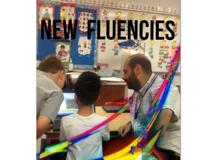
The students had to talk to their parents, grandparents, or other relatives who could provide them with information about a country or two that have personal significance to their family. Students were encouraged to get as much detailed information as possible. After gathering the relevant information the students and I used Google Maps Engine to "go to" the countries (and specific addresses) that were provided.
The time we spent working on our map was a wonderful experience. Here are some of the highlights:
- each student got the opportunity to share their country of significance with the class - which allowed them to inform the class about how/why what they were sharing with us was significant
- students got to see, up close and personal, some of the important places that are part of their classmates history
- students were provided with a perspective of the world that they would not normally be provided with
- students were engaged and interested in the activity which we completed over several days
- students had a natural curiosity about the different world locations and analysed the visuals that were presented to them
- students were open to, and encouraged each other, to share thoughts/ideas about what they were hearing and seeing
- students got to learn how to use Maps Engine in a way that connects to their lives
- the world was brought to them - into the classroom - and they were able to manipulate it to benefit their curiosity and learning
- they loved being able to zoom in and out on the map so that they could see countries from a birds eye view and then zoom right in to a specific location
- they wanted to play with the different features available on the map (e.g. style, data, labels)
- they want to revisit the map as we continue to learn about the world and how it connects to our class. They know that they can create different coloured markers so that we can colour code our learning depending on what we are talking about


Okay I love this idea. Now the next part, how do I do this? I am not too familiar with Google map engine. I mean I know google maps but not the actually mapping part of its functions. I think this would be fantastic for our grade twos. Can you email me how it works? Thanks
ReplyDelete